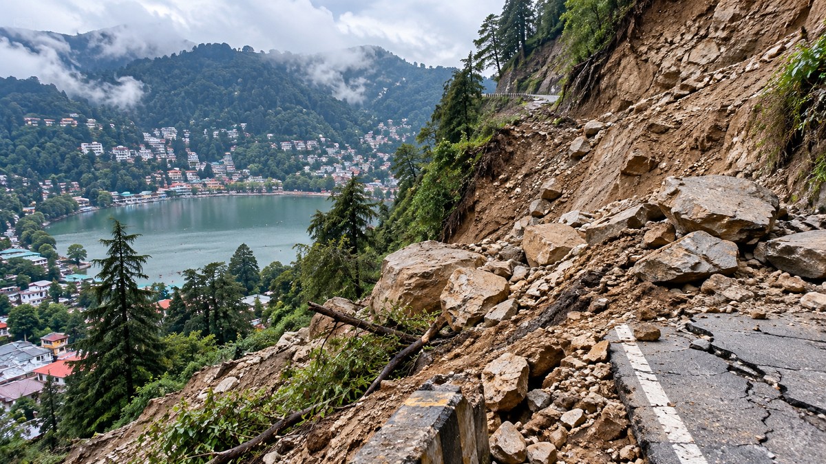
More than 70% of Nainital’s hills showed signs of movement between 2017 and 2024, according to a geological study based on Sentinel-1A satellite data. The findings point to a serious landslide risk for parts of the hill city and underline the need for regular monitoring of unstable slopes.
The research was prepared by scientists associated with the Indian Institute of Remote Sensing (IIRS), Dehradun. It was published on 10 September in Springer Nature’s Bulletin of Engineering Geology and the Environment.
The assessment examined ground deformation across an area measuring 68.62 square kilometres. It found that 17.08 square kilometres, or 24.9% of the area, falls within the high-risk category. A further 59.6% was classified as medium risk, while 15.5% was placed in the low-risk category.
Different parts of Nainital show contrasting movement
The study recorded downward movement in the south-eastern Balianala area. The ground there is sinking by 5 to 11 mm each year, making it one of the locations requiring close attention.
The Sher-ka-Danda area showed the opposite pattern. Its ground is rising by 10 to 20 mm annually, with an average upward movement of 12 mm. These contrasting patterns indicate that movement is not uniform across Nainital’s slopes.
Researchers said satellite-based observation can help identify gradual ground shifts and areas that may be vulnerable to landslides. Such monitoring can provide information about changing conditions in sensitive mountain terrain.
Geological and human pressures add to the risk
The report connects Nainital’s vulnerability with several factors. These include weak slopes near sensitive geological structures such as the Main Boundary Thrust and the Nainital Lake Fault.
The area also receives more than 2500 mm of rainfall annually. Heavy precipitation can increase pressure on unstable slopes, while uncontrolled construction activity may further intensify the existing risks, according to the study.
The report involved Achala Joshi of UPES Dehradun, Dr Girish Chandra Kothiyari and Atul K Patidar, along with other experts. The researchers highlighted the importance of observing vulnerable mountain areas over time rather than relying only on occasional assessments.
For Nainital, the findings are relevant to land-use planning, slope surveillance and disaster preparedness. The study does not state that a major landslide is taking place across the entire city now. Instead, it identifies patterns of movement and varying levels of susceptibility that require continued scientific and administrative attention.
What the risk categories show
The classification provides a broad picture of vulnerability across the assessed area:
- High risk: 17.08 square kilometres, or 24.9%.
- Medium risk: 59.6% of the assessed area.
- Low risk: 15.5% of the assessed area.
These figures show that most of the surveyed area is not in the highest category, but they also indicate that nearly one-quarter has been identified as high risk. The movement measurements from Balianala and Sher-ka-Danda add site-specific evidence to the wider assessment.
Conclusion
The study identifies widespread slope movement in Nainital and places 24.9% of the assessed area in the high-risk category. Its key next step is continued satellite-based monitoring of vulnerable slopes and geological zones.
Frequently Asked Questions
Q. What did the Nainital study find?
The study found that more than 70% of Nainital’s hills showed movement in Sentinel-1A satellite observations covering 2017 to 2024.
Q. How much of the assessed area is high risk?
Of the 68.62-square-kilometre assessed area, 17.08 square kilometres, or 24.9%, was classified as high risk.
Q. Which area is sinking?
The south-eastern Balianala area is sinking by 5 to 11 mm each year.
Q. Which area is rising?
The Sher-ka-Danda area is rising by 10 to 20 mm annually, with an average upward movement of 12 mm.
Q. What factors are linked to the risk?
The study identifies weak slopes, the Main Boundary Thrust, the Nainital Lake Fault, more than 2500 mm of annual rainfall and uncontrolled construction activity.
Q. Where was the research published?
It was published in Springer Nature’s Bulletin of Engineering Geology and the Environment.
Q. What monitoring approach do the researchers support?
They highlight satellite-based monitoring to detect gradual ground movement and identify areas that could be vulnerable to landslides.